
Records Around Delray Beach Neighbors
The immediate block is built parcel by parcel. PAPA Map Search shows adjoining land, and each shape links to a public property card. The voter database is a separate requested record with statutory exemptions. Delray Beach's association program maps community groups and their public contacts, but it does not promise a member list. Permit and code files describe activity at an address, not a complete household.
| Source | What it shows about a block | Access |
|---|---|---|
| PAPA Map and property roll | Adjoining parcels, assessed owners, situs, mailing address | Free map and cards |
| County voter database | Nonexempt registration address fields | Written request; fees and redactions may apply |
| City association map | Association coverage and public contact | Public map and contact sheet |
| Permits and code | Work, applicant, owner, contractor, case status | eServices or GovQA request |
| Reverse directories | Listed past occupants along an address range | State Library or City Archive |
| Historic and cemetery GIS | Location-linked historic properties or people | City records when available |
Ownership and occupancy must stay separate. A public owner name can point to a mailing address far from Delray Beach. A voter record confirms one registered person at a point in time, not all adults or children in a home. Use overlaps as verification, not as permission to fill gaps with assumptions.
Map Delray Beach Adjacent Parcels
Search the subject address in PAPA, open Map Search, and zoom until parcel boundaries appear. Click each polygon touching the subject lot, then follow its property-detail link. Pan along both sides of the road when the block, rather than only shared boundaries, is the goal. The map has aerial, parcel, municipality, zoning, flood, and district context where available. No official documentation promises an automated resident-radius export.
- Locate the subject parcel and confirm its street address, municipality, and 17-digit PCN.
- Click each adjoining shape and open the linked PAPA property record.
- Record the assessed owner, situs, mailing address, legal description, and any public exemption indicator.
- Compare owner mailing and situs addresses, but treat a match only as evidence consistent with owner occupancy.
- Expand one parcel at a time until the chosen block boundary is complete.
That compact flow is address to parcel, parcel to nearby parcels, and nearby parcels to public owner records. For a full named road rather than the immediate block, use the Delray Beach street directory workflow.
Note: Parcel geometry describes land, while the property card supplies the current assessed ownership that should be cited.
Delray Beach Owners Versus Neighbors
PAPA distinguishes the situs address, where the parcel sits, from the owner mailing address, where assessment notices go. A homestead indicator can support an owner-occupancy inference, but confidential application details are not public and the indicator remains short of a household roster. A trust, company, estate, or distant mailing address may appear instead of a person at the property.
Renters, relatives, roommates, caregivers, and many other occupants are not systematically indexed on the tax roll. Utilities and delivery data are not public directory substitutes. DMV personal information is closed. A deed can establish title transfer, yet it cannot name every person who lived at the property. That local record myth matters most when someone tries to turn a block of owner cards into a list of Delray Beach neighbors.
| Record fact | Safe reading | Do not infer |
|---|---|---|
| Owner equals mailing name | Assessment notice recipient | Every occupant |
| Mailing equals situs | Consistent with owner occupancy | A full household |
| Voter at address | One nonexempt registration | All residents |
| Permit applicant | Named project participant | Resident status |
Delray Beach Voter Data by Block
Palm Beach County “My Status” is an individualized lookup, not a tool for browsing neighbors. A block-level view requires a voter-database request through the Supervisor of Elections. The form can specify voter information, voting history, districts or precincts, party, race, gender, birth year, address, city, state, ZIP, telephone, and email, subject to exemptions and the requested output. Ask for the narrowest fields and area needed.
The Palm Beach County voter public-records page explains the proper request channel.
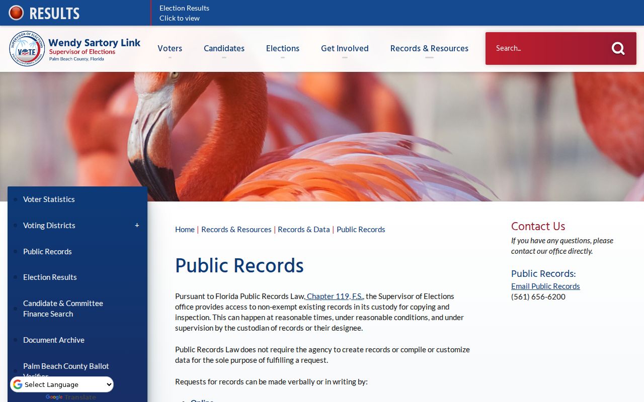
The captured page helps distinguish a formal database request from the single-voter status portal.
Florida law keeps Social Security and driver-license numbers, registration locations, protected signatures, preregistrants, and qualifying protected addresses out of the public release. Fees can include electronic setup or programming and media, with an estimate or prepayment when applicable. A returned file remains a point-in-time registration source rather than a complete resident roll.
Delray Beach Neighborhood Association Contacts
The Neighborhood Association Program maintains a Citywide Neighborhood Association Map and an HOA Contact Information Sheet. Its public function is to connect people with an association and keep organizational contacts current. It does not authorize publication of private member rosters. Ask an association whether it offers a resident-only directory, what consent supports it, and who may use it.
Neighborhood Association Program
Citywide map and HOA contact updates
561-243-7280
communityneighborhood@mydelraybeach.com
Delray Beach City Clerk
Municipal records and GovQA route
100 NW 1st Ave.
561-243-7050
County Public Records
Custodian directory for county-created files
Route requests to the office that made the record
Lake Ida, Pineapple Grove, Osceola Park, Tropic Isle, Del-Ida Park, Seacrest, and southwest communities are useful map labels to verify. Association boundaries are not ZIP codes, precincts, parcel lines, or city limits. Western communities using a Delray Beach mailing address may be outside municipal jurisdiction.
The Delray Beach GovQA portal is the city's online records-request channel.
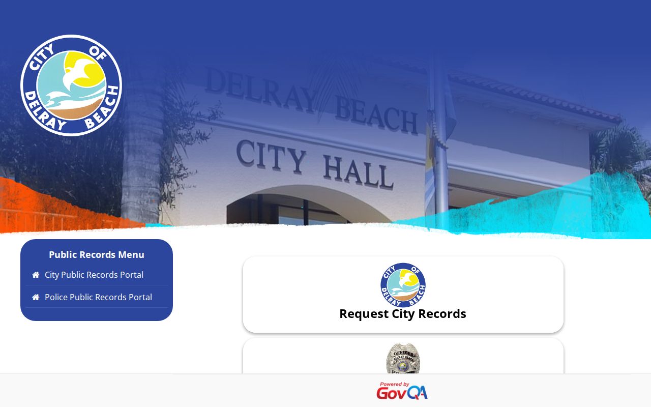
The request screen supports a focused search by department, record description, date range, and preferred delivery.
Track Change on Delray Beach Blocks
Permit and code records show how a block changes without pretending to show who sleeps at each address. Building files can identify the applicant, owner, contractor, work scope, valuation, dates, inspections, and plans. Productive request keys include address, permit or application number, PCN, project text, type, status, and date range. Delray Beach Development Services routes copies through GovQA.
Jurisdiction comes first. A postal Delray Beach address west of the city may belong to Palm Beach County Planning, Zoning and Building rather than the municipal department. PAPA's municipality field resolves that issue parcel by parcel. County records are spread among separate custodians, so the Palm Beach County custodian directory is the useful fallback.
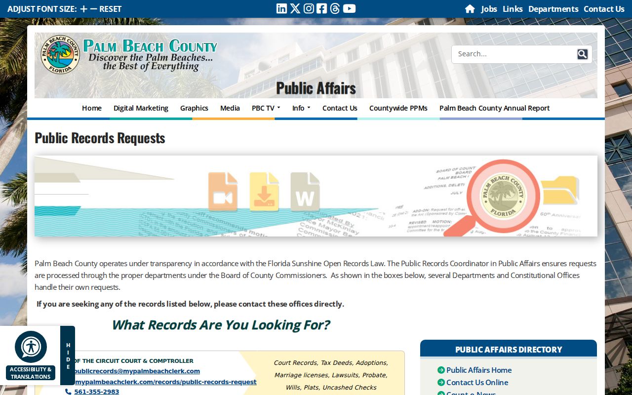
The county directory helps route a permit, code, GIS, or other block record to the office that created it.
For earlier blocks, compare the city's Sanborn maps from 1922, 1926, 1949, and 1963. Those sheets can test street labels, uses, footprints, and block form. A reverse directory, when a verified volume has a street section, can add listed occupants for that year.
Official Delray Beach Neighbor Records
Official sources are narrow but traceable. Commercial neighbor tools merge deeds, voter or marketing files, and other feeds. Their convenience can hide stale addresses, merged names, and wrong household links. They also cannot reveal protected residents or create a complete block roster. The better choice depends on whether speed or proof matters, but sensitive conclusions should return to the custodian.
| Source type | Strength | Limit |
|---|---|---|
| Official parcel and deed records | Custodian, date, parcel, and document are identifiable | Ownership is not occupancy |
| Official voter request | Defined public fields with required suppression | Not every resident is registered or public |
| Association contact | Current community organization route | No public member directory promised |
| Commercial compilation | Fast combined search | Source age and matching may be unclear |
When a commercial listing conflicts with PAPA, a deed, or the Supervisor of Elections release, correct the source record where it is wrong and use the provider's privacy process for the compiled listing. Keep screenshots and confirmation numbers.
Florida's Attorney General publishes consumer protection guidance and a complaint route.
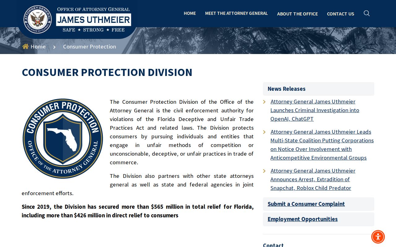
The official guidance gives Delray Beach residents a state route when a data service makes deceptive claims or fails to honor its stated process.
Protect Private Delray Beach Neighbors
Florida's Address Confidentiality Program gives qualifying victims a substitute mailing address and agency protections. Separate exemptions cover specified officials, victims, and family members. The voter-record statute also protects defined registration fields and addresses. These protections are features of the public system, not gaps to work around.
The Florida voter confidentiality law details the public and exempt split.
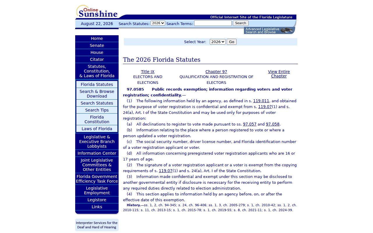
The statute image reinforces why a lawful block request must retain redactions and never seek suppressed fields from another source.
Lawful use. Learn about a Delray Beach block for civic curiosity, reconnection, or personal safety. Never stalk, harass, intimidate, or harm a neighbor.
A respectful lookup records what a source proves and stops at its boundary. It does not publish a private association roster, infer hidden household members, or treat an old address as current. When contact is warranted, use the least intrusive route and honor any clear request for no further contact.